Warmer, drier days ahead for Central Florida, but a cooldown is coming. Here’s when
Marcus manages the day-to-day editorial workflow across all brands, coordinating coverage assignments and ensuring editorial standards are met. He previously served as city editor at the Pioneer Press and holds a degree in Political Science from Carleton College.
More from Marcus →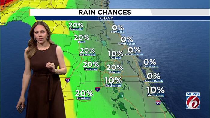
After days of heavy rain and historic flooding, Central Florida is finally getting a break. Rain chances drop to just 20% to 30% for most of the area this week. Rain OutlookA large area of high pressure north of Florida will keep easterly winds in place Wednesday, but the breeze will gradually weaken as the high pressure ridge settles over the region.A few passing showers remain possible Wednesday, with rain chances around 20% to 30%. Drier air will move in late week, dropping rain chances to 10% or less Thursday and Friday.A weak cold front is expected to move through Saturday, but it is not expected to bring much moisture or meaningful rainfall. High pressure will then build back in, keeping the weekend mostly dry.Temperature OutlookDespite the recent rainy stretch, temperatures will remain warm for early November. Highs will reach the middle 80s through Friday, with heat index values climbing into the upper 80s and near 90.This will bring a minor HeatRisk for those more sensitive to